La Bénévent l’Abbaye to Chatelus Le Marcheir 21.35 km 472.26 km walked.
Mainly Forrest walking today which made a nice change. Who put the mountain in the middle though!

Very hilly day with one very long acsent to Saint Goussaud which clings to the side of a chain of hills, the Monts de Saint-Goussaud, whose highest point is at 697 meters (2,286 ft). The route video has an elevation profile at the top left as well.
A bit of an Avatar (the movie) moment today walking through Forrest of green moss and lichen covered trees following an ancient path and suddenly the bulldozers and loggers smashing it up cutting it down. But the Forrest looks older than it is. I counted the tree rings an they were only 50 to 70 years old.
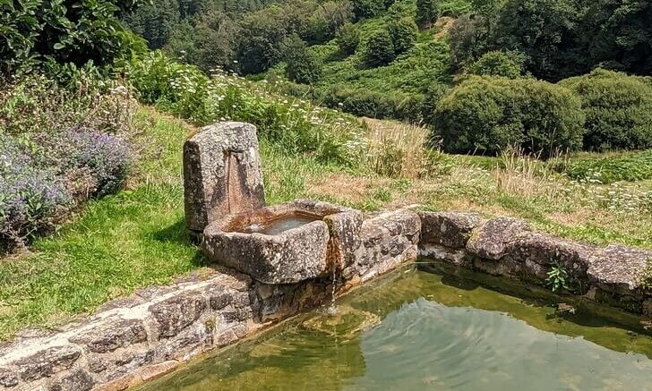
Passed a lot of natural springs today.
I did a detour at Chatelus and down to the Thaurion River and bridge. It is marked as a tourist attraction. Nice, but the tourist attraction is just a little beach swimming area next to a very ordinary bridge. Made the most of it and took the steep track up the hills to the church overlooking the town and down to the pilgrims refuge where I am staying tonight.


Have company tonight a Dutch couple who I met briefly over a week ago. They have walked from their house in Holland.
Had to use the emergency food this evening. It is Sunday and everything is closed. Have enough not to go hungry!!
Expecting a 30km day tomorrow.
