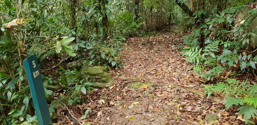
The Goldfield Trail in Wooroonooran National Park. The 19.5 km long Goldfield trail links Babinda Boulders Scenic Reserve and Goldsborough Valley 46 km south of Cairns and can be walked in either direction. I chose to start at the Babinda Boulders. After wandering around for a while the trail head was located behind the playground at the carpark.


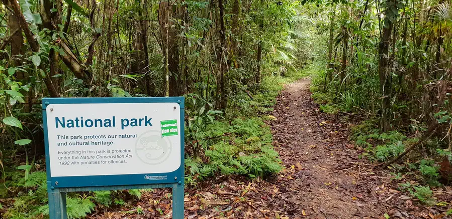
Wooroonooran National Park forms part of the Wet Tropics World Heritage Area. It is managed for the purposes of nature conservation and nature-based recreation. The trail follows a historic path through the rainforest. It crosses numerous picturesque creeks and climbs over a low saddle between Queensland’s two highest peaks, Bartle Frere and Bellenden Ker.
There is supposed to be plenty of snakes here but I never came across any, nor any people either so had the whole trail to myself.

The hike begins with a walk next to the Babinda creek, up into the hills through the rain forest. An easy gradual ascent from Babinda. after about 6 km the trail tends to be rocky and slippery. There is a 300mt ascent (1000ft) and descent between the mountains enough to get the heart pumping a bit. Has been nearly 2 months since my last hike, amazing how fast hiking fitness disappears!


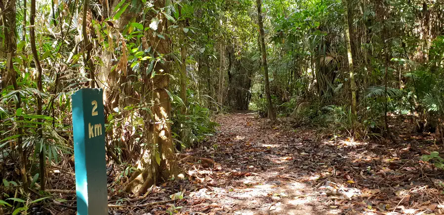
Although the track passes near Queenslands highest mountains don’t expect any mountain views as this track stays in the forest most of the way and in the trees and under the canopy.

This is now an enjoyable walk through a lush tropical rainforest with lots crystal clear creek crossings. In the 1930’s this was a rough track created by prospectors to reach the north-west slopes of Bartle Frere in search of gold. The trail was re-opened in 1986 as an international volunteer project.
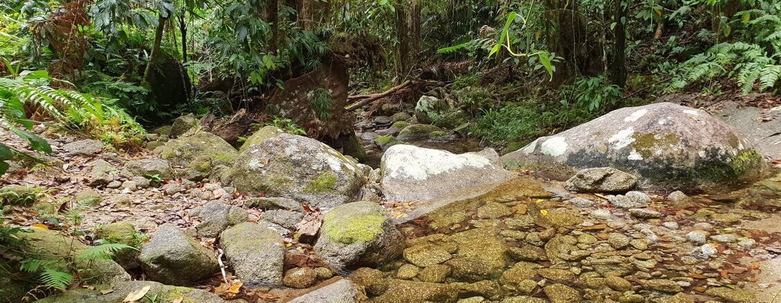
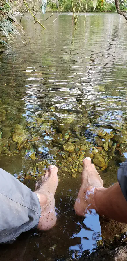
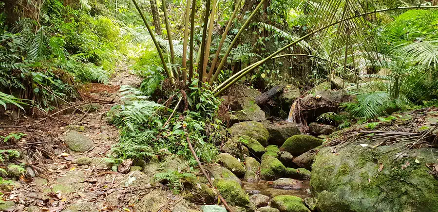
After the descent and about the halfway there are 4 creek crossings over the next 1km that all require boots off if you wish to keep them dry, These creeks also offer a places to top up water bottles and cool off.


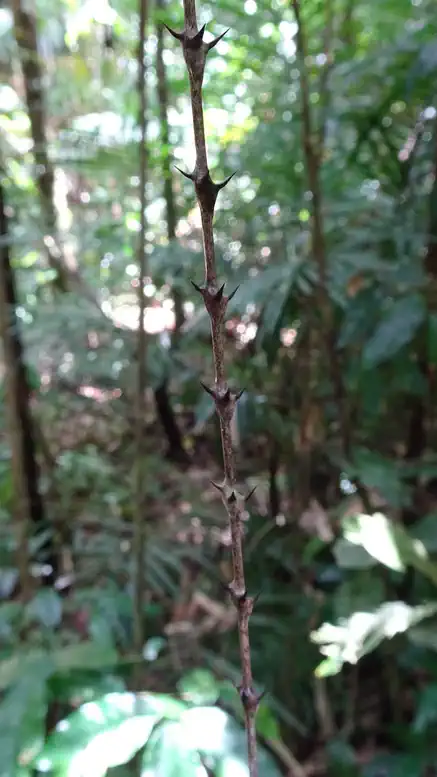
Did not brush against a stinging tree but did get caught up in the barbed vines hanging across the track a few of times. Appropriately called Wait-a-while (Yabulam) Calamis australis. A real pain to walk through and it does take a while to become untangled but otherwise a useful vine. The wait-a-while berries and canes were eaten by indgenous people. Water can be drunk by cutting the cane. Cassowary find the beries very tasty too. Canes were cleaned of their spikes and used as construction materials in rainforest bush huts.
After about 10 km the track emerges from the rainforest onto the banks of the Mulgrave River. The waters of this fast flowing river are as clear as any swimming pool.
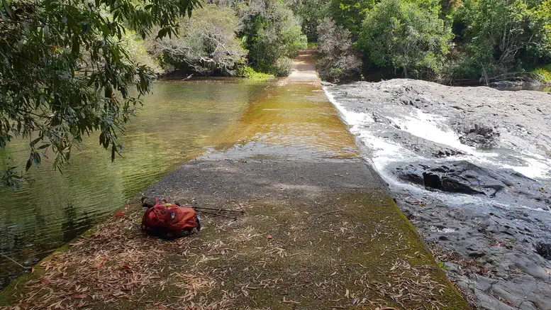
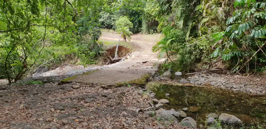
For the final few kilometres the track turns into an old road that serviced old mining areas. It soon meets the Mulgrave river where it follows the river bank until you get to a causeway. Easy to paddle across with still water upstream and swiftly flowing, turbulent rapids downstream.
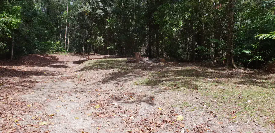
There is a basic campground here with a fire pit and cleared area for tents. Bookings for this campground need to be made via the QLD National Parks website.
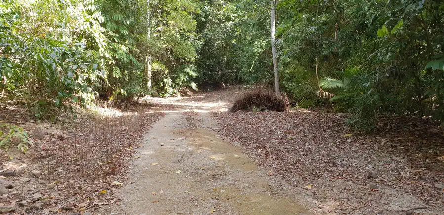
The hike concludes with pleasant 9km stretch wandering along a well maintained vehicle track next to the Mulgrave river to the Goldsborough Campground. This section is shared use for both mountain biking and hiking.
Nothing to onerous with this walk. There are some short steeper sections both up and down using rocks as steps thus area can be slippery. There is no going up mountain sides though as the track goes between mountains and not over them.
Looks a lovely area to walk
Thanks Trish hope you enjoy the blog.