An afternoon exploring the Gillies Range. With Stops at Heales Outlook, Gillies Lookout, The Cathedral Fig Tree, Mobo Creek Crater walk and Yungaburra.
The Gillies Range is a chain of summits south of Cairns that separate the North Queensland coastal plain from the Atherton Tableland. We are camped at the Little Mulgrave River which is at the foot of the range near the town of Gordonvale.
Heading out from our camp site we turn right onto the Gillies Highway and head towards Atherton via the Gillies Range (famous for its 263 corners, and 800 m elevation change in only 19 km of road). Not a popular route for those who suffer from motion sickness!!
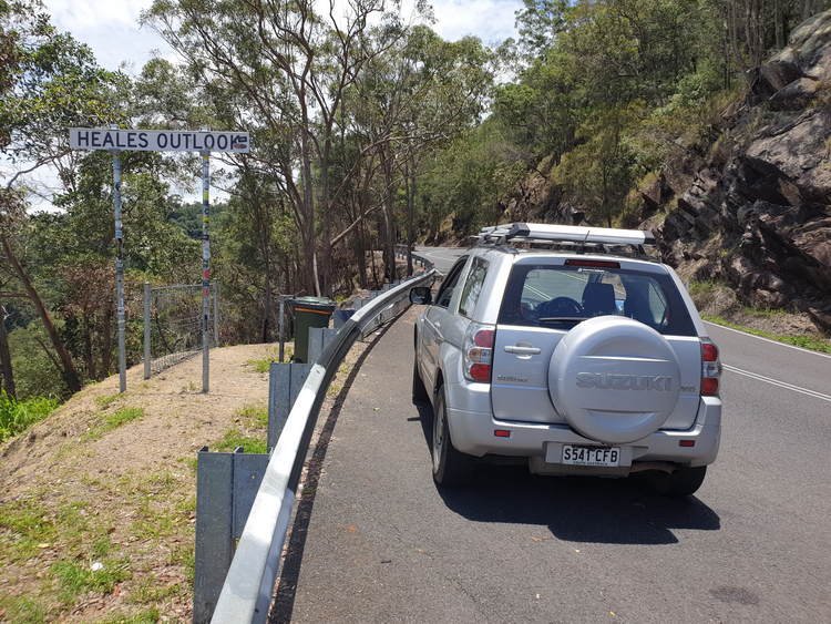
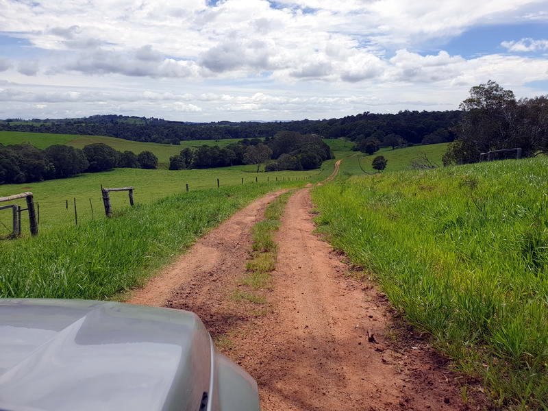
To get to the Gillies Lookout you need to turn right on Boar Pocket Road shortly after you reach the top of Gillies Range. After a few minutes there is a sign to Gillies Lookout and also advising that the road is not suitable for caravans and trailers.
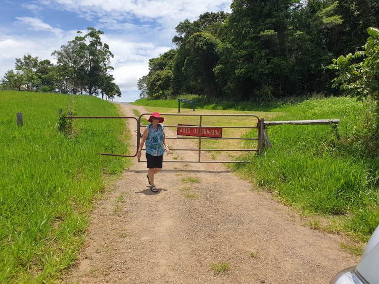

steeper than it looks!
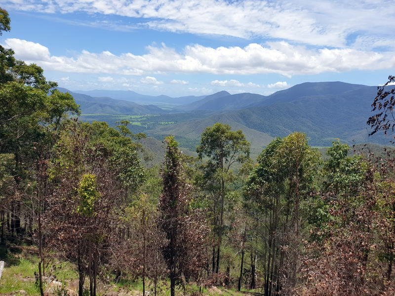
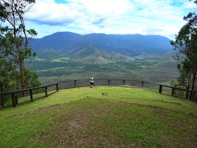
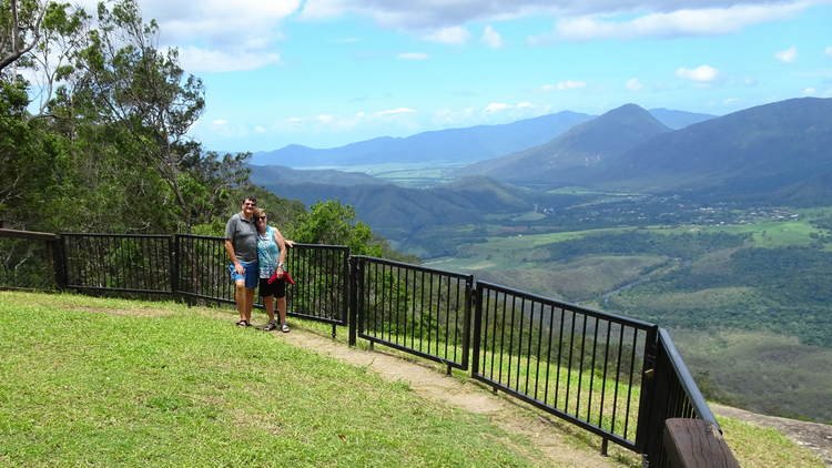
The track in is quite steep in places and got the chance to select low range 4WD. The reward is the Magnificent views over the Goldsborough Valley and the Mulgrave River.
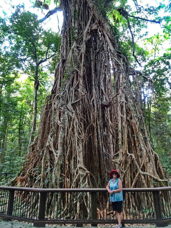
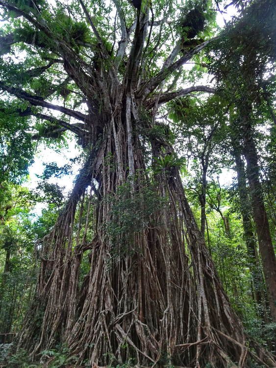
About 4km further along Boar Pocket Rd is the magnificent Cathedral Fig Tree.


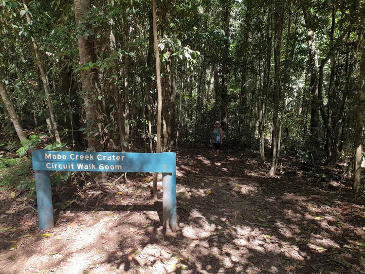
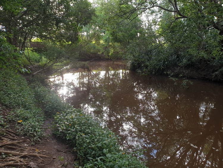
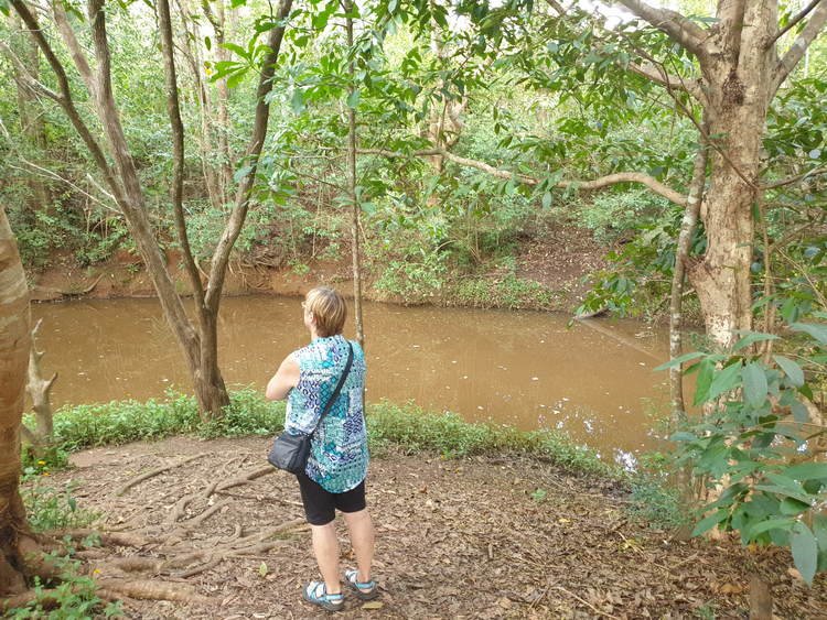
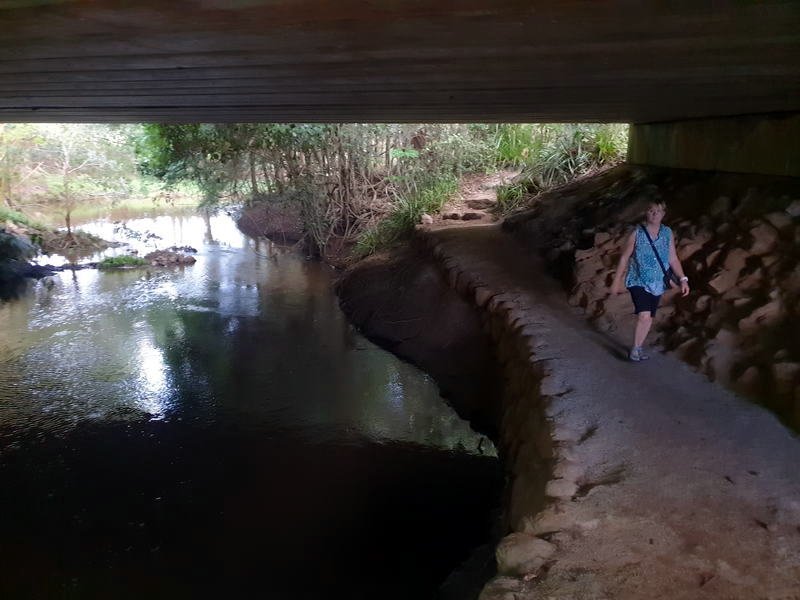
Another couple of kilometres along Boar Pocket Rd is the Mobo Creek Crater walk. This is a short walk through tropical rainforest to the Mobo Creek Crater. We were quiet looking along the creek for a Platypus but not today.

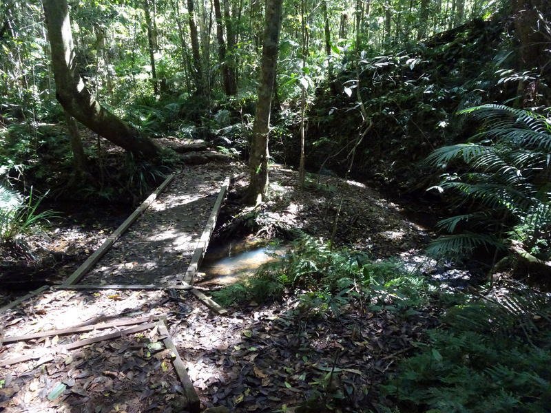
The geology of this area has perplexed scientists for many years and, despite its name, it is unlikely that is was formed from volcanic activity but rather the river flowing around the basalt rock.
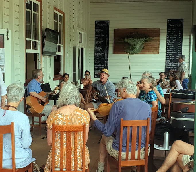
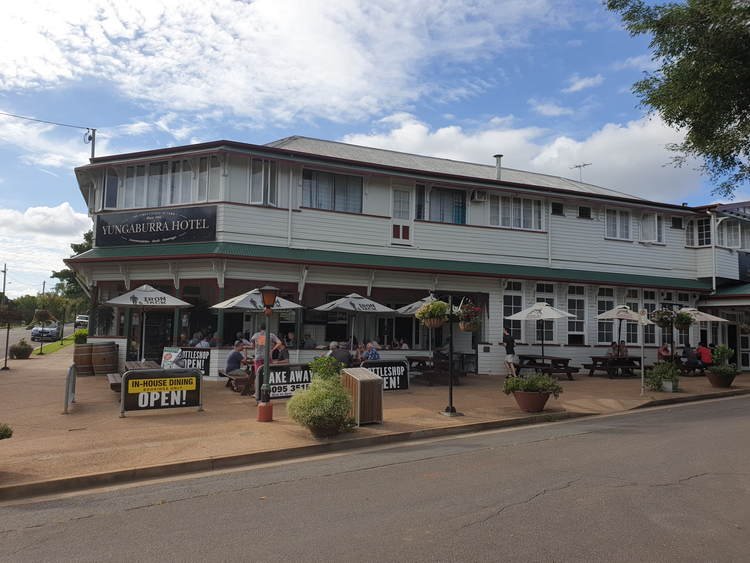
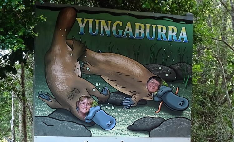
Our last stop today is in the quaint town of Yungaburra for the Platypus walk and the Yungaburra Pub to listen to the local folk music group playing on the veranda.
Time to negotiate the 263 corners back to camp.