This is my second hike along the High Country Rail Trail. The first was the 32 kms from Ludlows Reserve beside the Hume Reservoir, through Tallangatta to the hamlet of Bullioh. Click HERE High Country Rail Trail Part 1.
This walk is my first training hike for the upcoming Jodie Lee Trek 80km in 2 days. This is a charity fund raiser for bowl cancer awareness and prevention. Please click here to find out more or offer support.

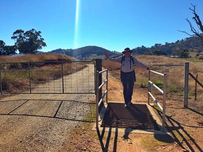
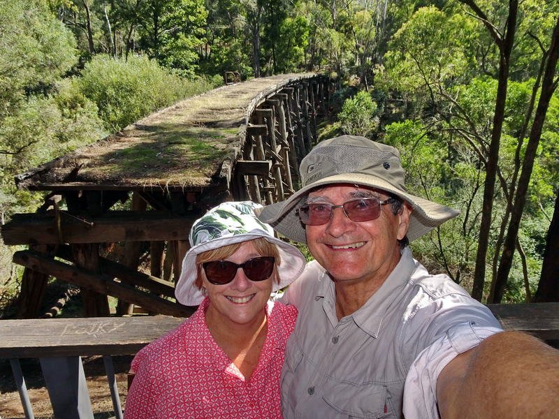
For this walk we again overnighted at Ludlows Reserve then in the morning repositioned the motorhome to near the old Shelly station. Trish drove me the 30 km back to Bullioh to start the days hike up the rail trail to Shelly Station. Trish spent the day exploring the area around Tallangatta and Old Tallangatta.
This spectacular mountain railway from Wodonga to Cudgewa in north eastern Victoria was one of Australia’s truly fascinating branch lines, and the most challenging to operate on the Victorian Railways. A scenic railway famous for its towering wooden bridges and notoriously steep grades. On my walk also for spiders and snakes!
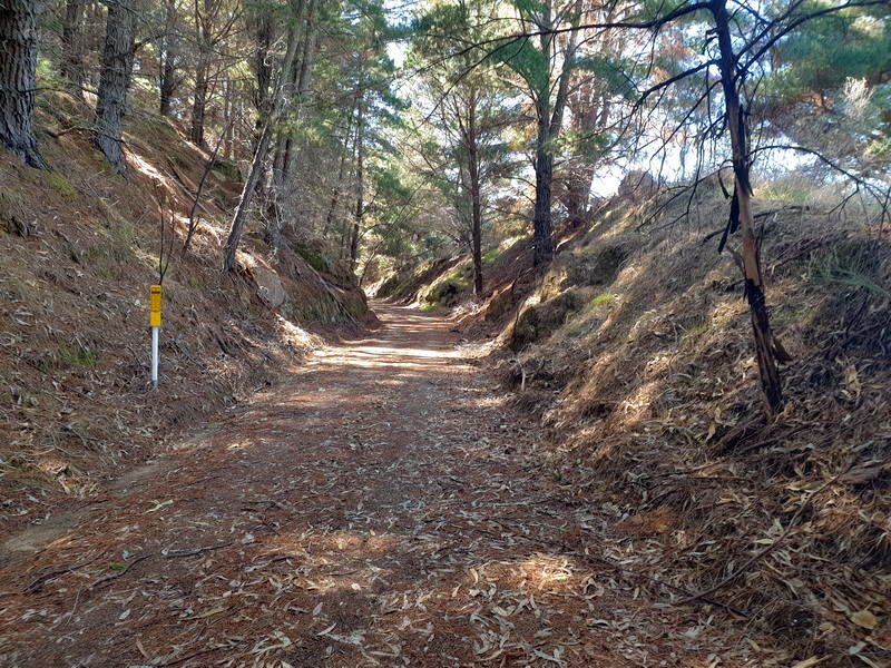
The first couple of kilometres are through flat farmland before the steady climb begins

Shelly was the highest Victorian railway station and this section of the trail climbs almost continuously from the 28km marker at the maximum gradient standard trains could manage.

The trail crosses Tallangatta creek on the first old trestle bridge for the day and passes farmland with horses grazing in the paddocks. The horses around here far out numbering the cattle.
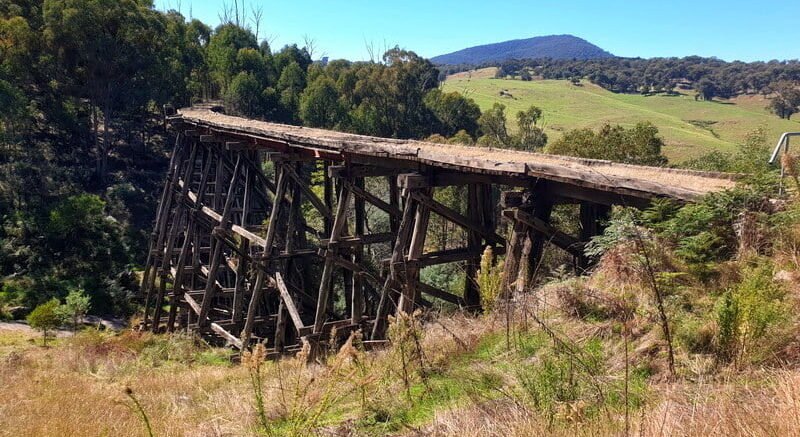
It is not long before I came across another old wooden trestle bridge. The Derbyshire Hill No1 bridge or Tucker Box Creek Bridge is the first of several high trestle bridges. Unfortunately these high bridges are no longer safe to walk across. I was tempted, but the obviously collapsing surface was enough to convince me to continue on the path around the bridge.

Tucker Box Creek Bridge Now
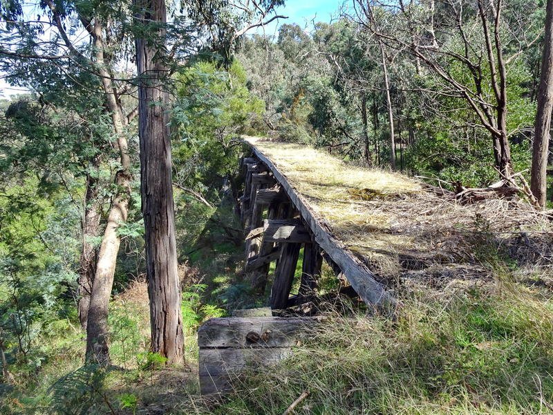
The next trestle bridge is the Derbyshire Hill No 2 bridge and the highest on the trail at 21.3 Metres.

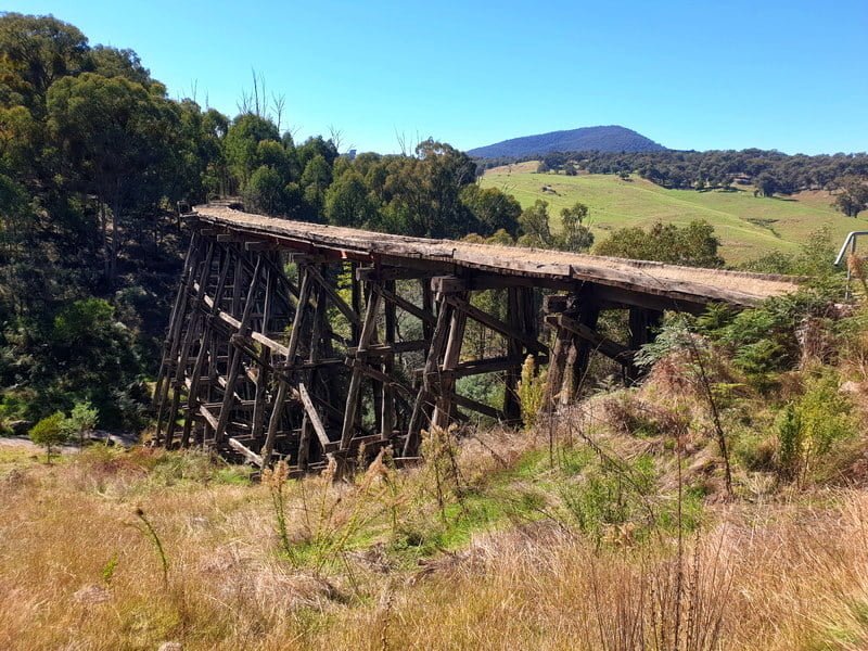
Derbyshire No2 Bridge – High Country Rail Trail 
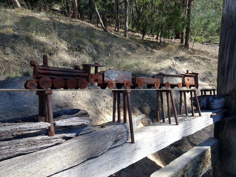
The paths around these bridges have seats provided, one with a model train included and another made of twisted wood.

The trail continues to climb to the dreaded Big Bend. If it was icy or with snow the trains has some trouble with this hill and did not always make it at the first try with the huffing and puffing trying to make it up and around the bend to the overhead bridge and the screeching as the big steam trains slid backwards down the hill. It often took 3 tries to get around the ‘big bend’.

On this warm sunny day the only thing that slowed me up on the dreaded big bend was a huge spider on the track.
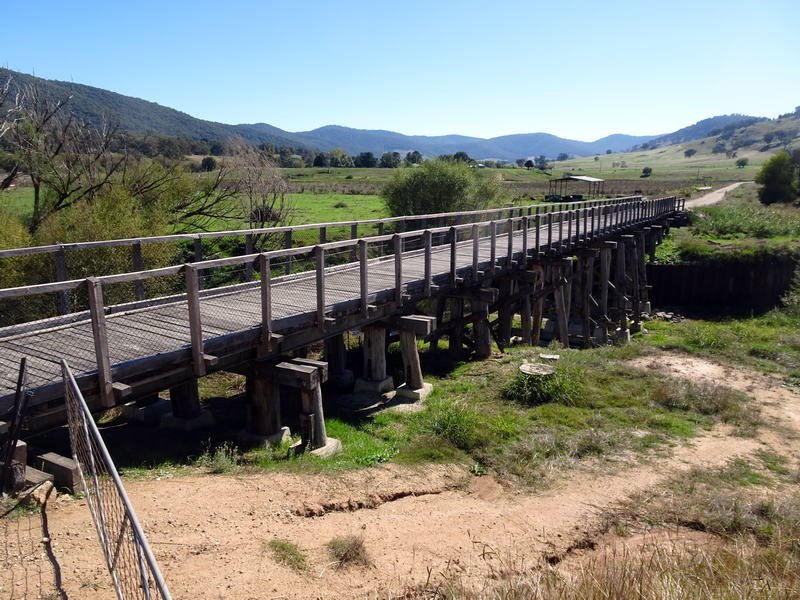
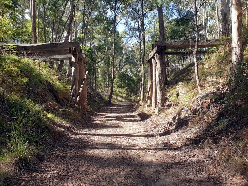
The track continues it steady climb through cuttings, under the Murray Valley highway a couple of times and past several other trestle bridges in poor condition and not able to be walked over. There are a couple bridges that have been restored as part of the trail and can be walked across.

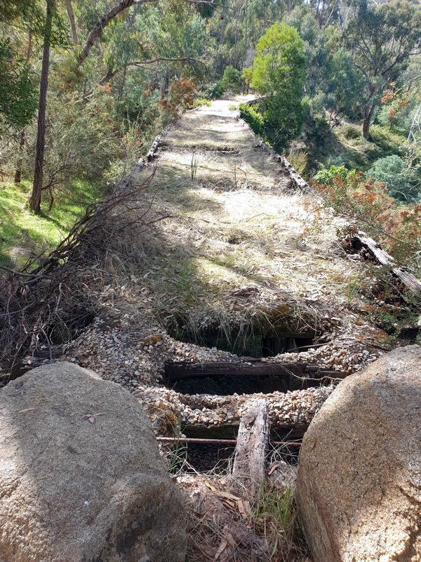

Restored Bridge 

Lunch was at the old Derbyshire station. Nothing left here other than the sign. and a bit of old concrete that made a handy place to take the weight of the feet.
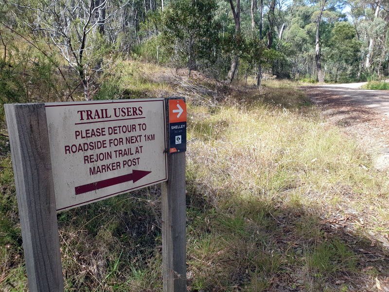
There was a 2km detour onto the busy Murray Valley highway the worst part of the walk however it did provide the opportunity for Trish to meet me for afternoon tea. We arranged to meet at the end of the detour where the track turns back off the road to the historic Boggy Creek Bridge.
Other bridges have been strengthened however this bridge made of blue gum remains as it was constructed in 1915 and could carry trains at over 500 tonnes up until the line closed in 1978. Unfortunately the bridge is now missing a bit at the end so unfortunately is no longer able to be crossed.

From the Boggy Creek bridge the trail continues its ascent and runs parallel to the main road for a couple of kilometres before crossing under the road and in to high country bushland forest. The next wildlife to confront me on the track was a highland copperhead snake.

Highland Copperhead 
Highland Copperhead
Copperheads have managed to eke out an existence in some of the coldest high rainfall regions of Australia, where most other snakes would perish. The copperhead is about 8 on the list of dangerous snakes with a venom that is neurotoxic (damaging nerves), ruptures the blood cells and damages the cells and muscles – but rarely causes fatalities. Copperheads tend to be secretive and prefer to avoid encounters with humans. This snake must not have read that bit. This snake stood its ground and there was no way this snake was moving off the track!!

Old photo from Vic Rail 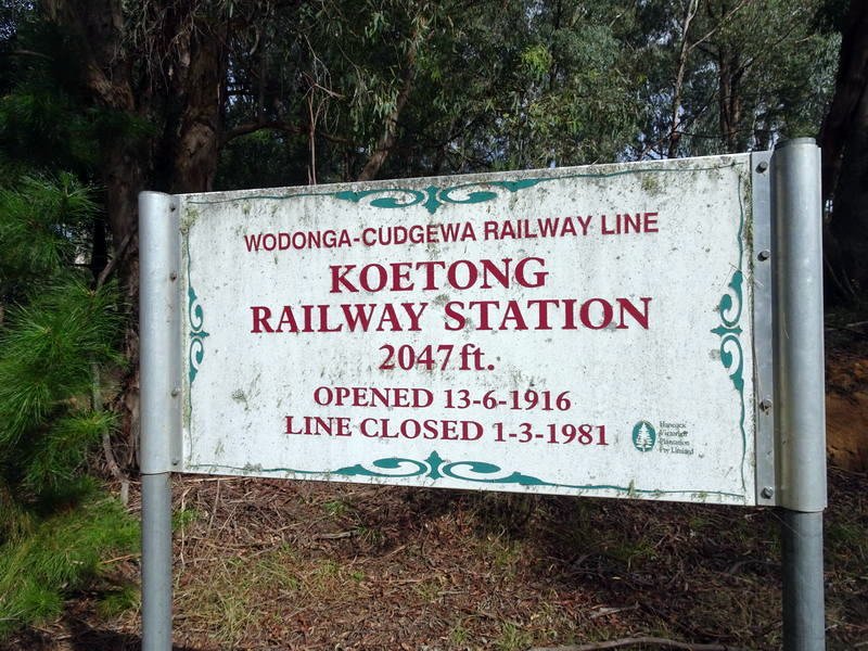
The track continues its climb to Koetong station at 2047 ft. Today there is nothing left of the station but an embankment and a sign. Pronounced Cooee-tong which means frost. There are also aboriginal cave paintings near here but they are protected and not open to the public. The trail continues through forest with an occasional glimpse over the high country.

I have not walked this far for a long time and from Keotong station the uphill grade continues and at 25km of walking I am starting to feel the repetitive strain on my knees, hips and big toe.


The trail continues its steady climb to Shelly Station. Victoria’s highest railway station at 779 Metres (2556 Ft) nestled in forest atop Mount Keelangie.
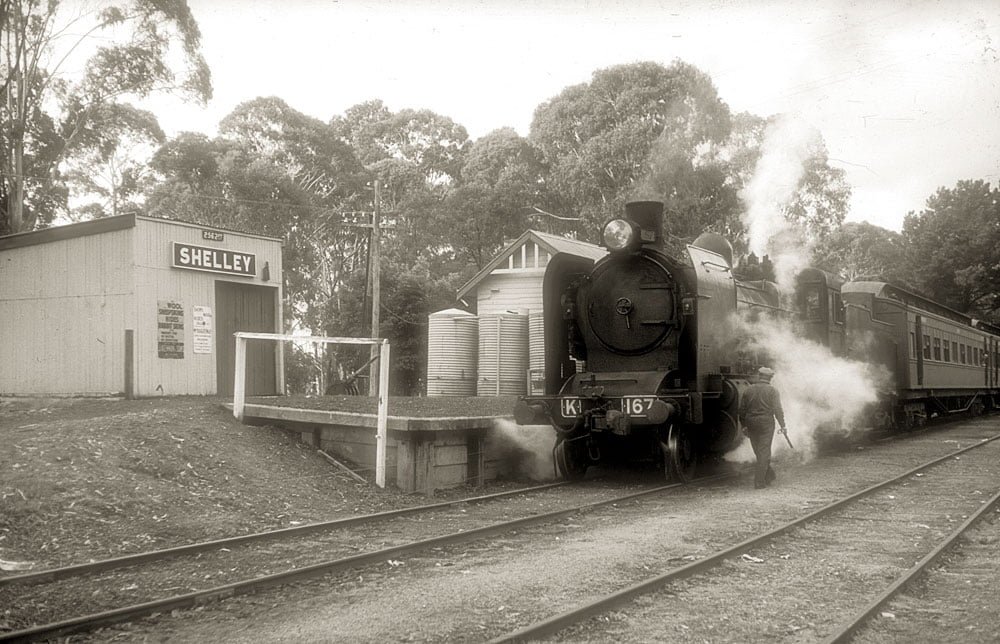
Old steam train photo from Vic Rail 
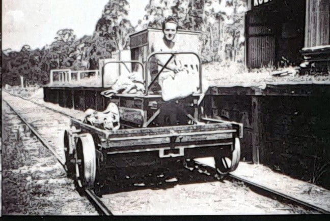
Old rail motor photo from Vic Rail 
Not so old photo from Steve Bennett
Sadly the refreshment room at Shelly Station is now long gone so I head down hill the 2km to the motorhome refreshment room parked at Tom Mitchell Reserve. A handy free camping area for this walk with toilets and drinking water. We will spend the night here as some recovery time and head off to Bendigo tomorrow.
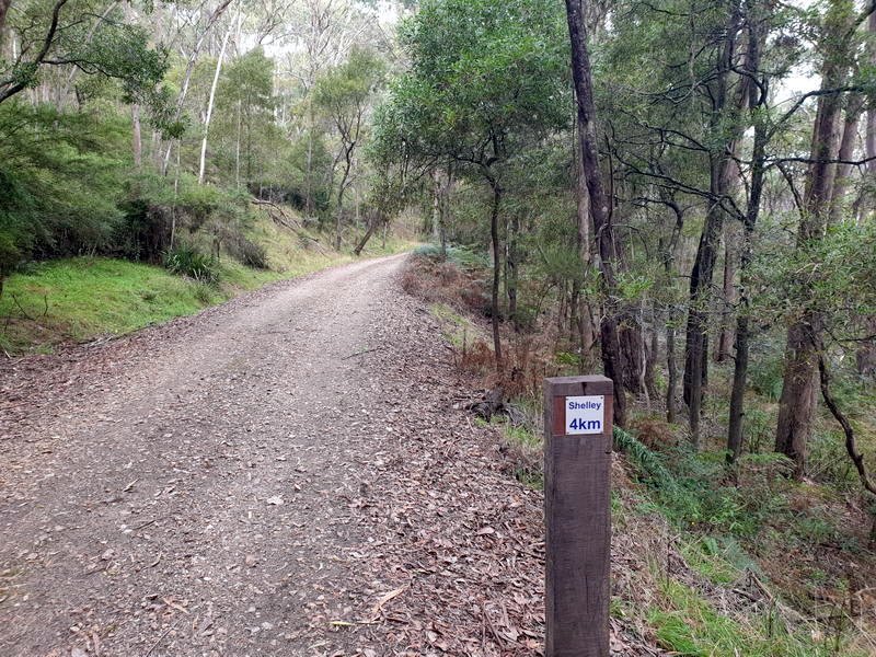
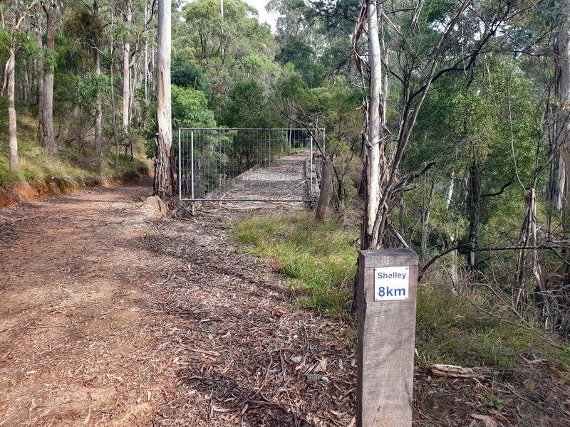
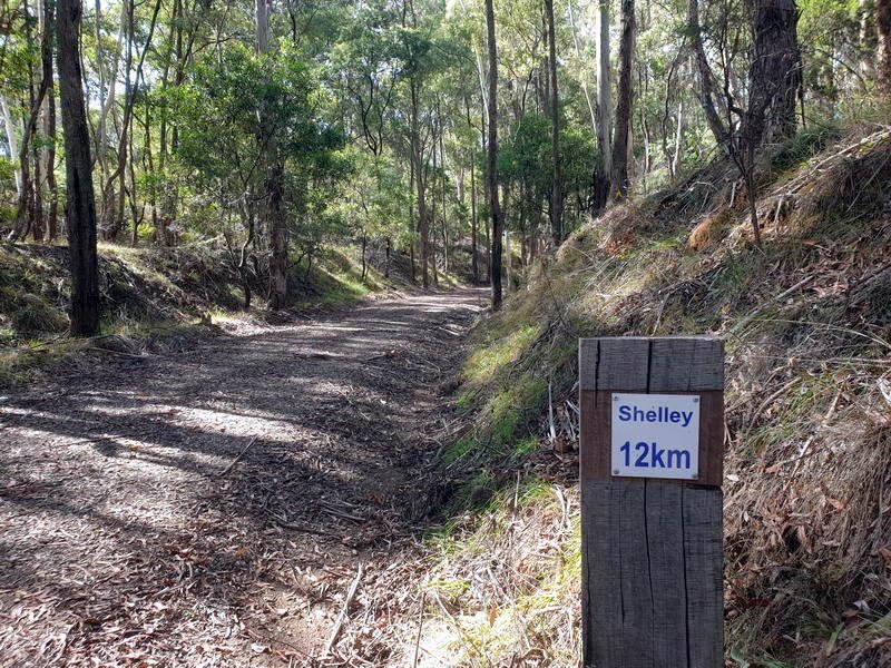
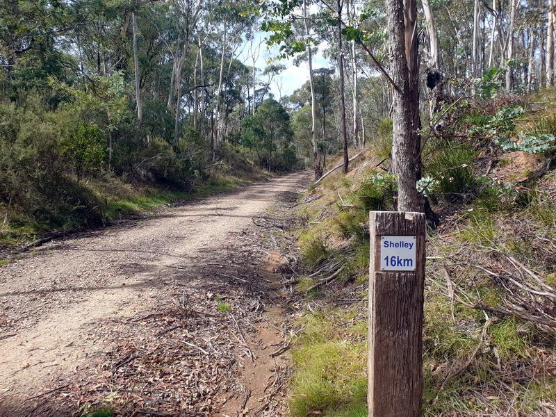
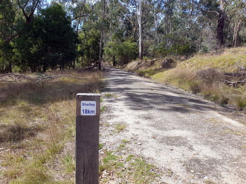
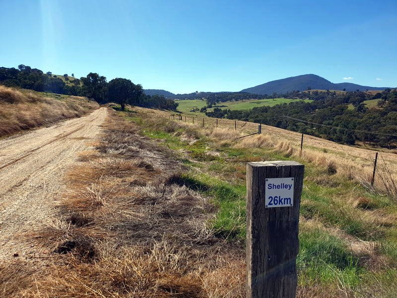
Trail distance signs every 2km


I love reading a post that can make men and
women think. Also, thank you for permitting me to comment!