Trish had a couple of appointments in town so no better time to walk a local rail trail. The Mount Gambier Rail Trail has recently been extended and is now is 8.64 km goes East/West through the regional centre of Mt Gambier. The trail is of a very high standard, flat and easy to walk. The focal point is around the old Mount Gambier railway station.
Mount Gambier Rail Trail (West) Ends here 
Mount Gambier Rail Trail Start
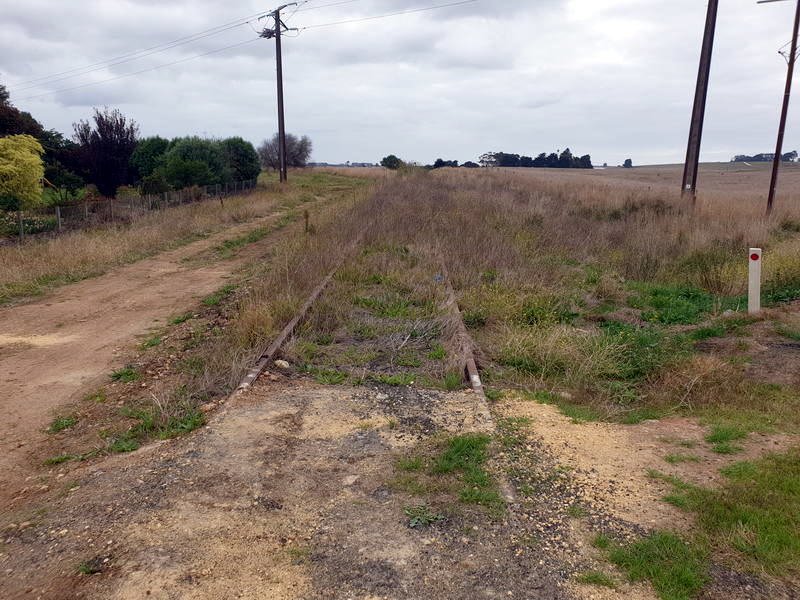
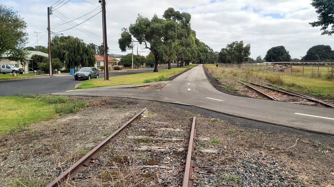
The Rail Trail was once an abandoned railway line, and the deserted tracks overgrown with weeds were off-limits to the general public. I started from the West at the end of the new extension where the line is as it was prior to development.

Trail Starts at the bottom right hand corner of this photo then passes a new subdivision and continues on past a light industrial area. Mount Gambier Crater is in the distance.
(Photo – ABC South East SA: Bec Whetham)
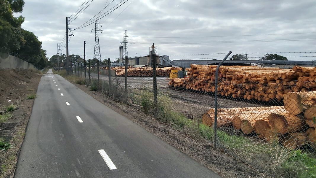
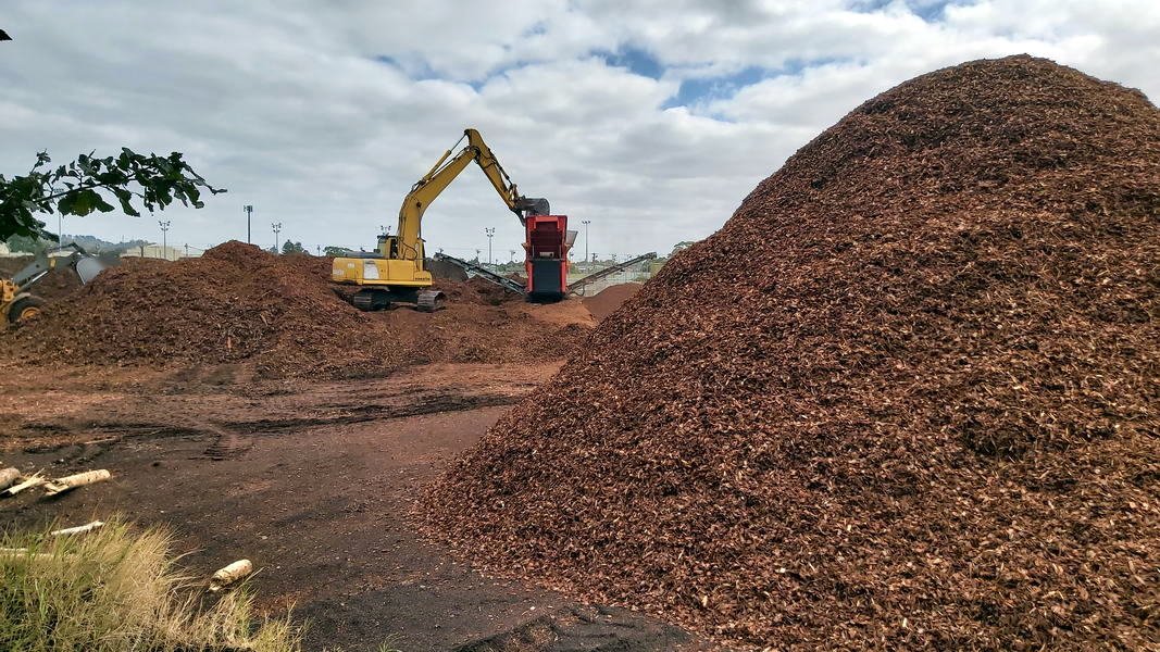
Unlike most, I actually enjoy walking through industrial areas. There always seems to be interesting ‘stuff’ to look at. The trail goes on to pass by operating wood mill and particle board manufacturer with the unused tracks still going into the factory area.

Mount Gambier Rail Trail Industry 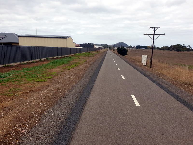
Mount Gambier Rail Trail (West) 
Mount Gambier Rail Trail (West) 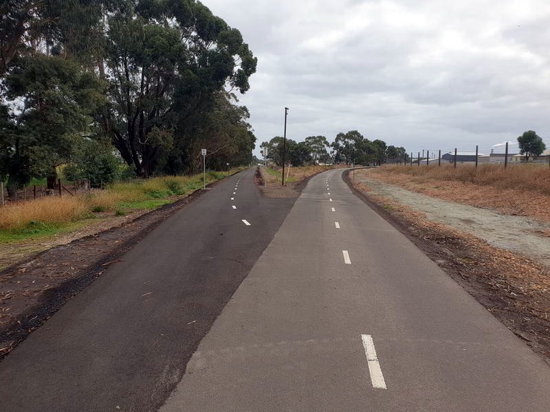
Mount Gambier Rail Trail (West) 
Mount Gambier Rail Trail (West) 
Mount Gambier Rail Trail (West)
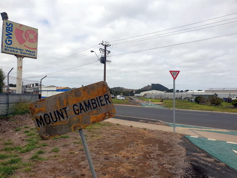
The trail is much the same until it gets near to the city centre and the old Mount Gambier Station.
When the land was gifted to the community by the South Australian Government, the City of Mount Gambier set to work re-purposing the site into public green space.
The Railway Lands is now a focus area around the former railway station, with a play area, wetlands and picnic area and the old railway tracks, buildings and even an amphitheatre.
Mount Gambier Rail Trail 
Mount Gambier Rail Trail wetlands 
Mount Gambier Station and Park
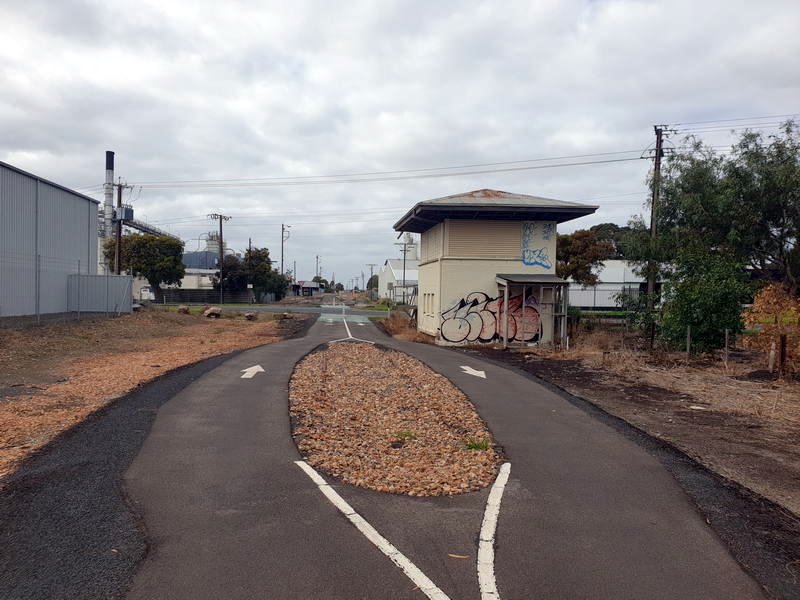
The trail also passes some historical buildings related to the railway and freight such as the old 3 storey oatmeal mill

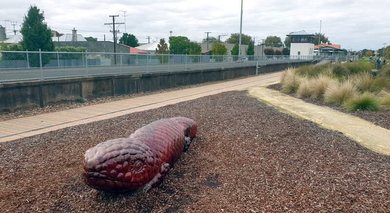
I continue on the trail East out of the city area once again passing housing and light industry and an ant sculpture which is part of the Limestone Coast Ant Trail.

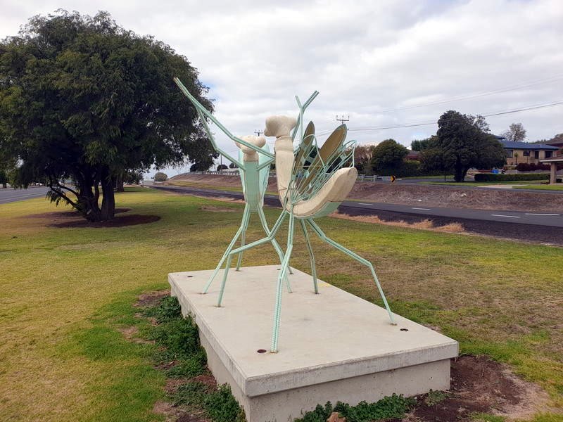
Limestone Coast Ant Trail Sculpture 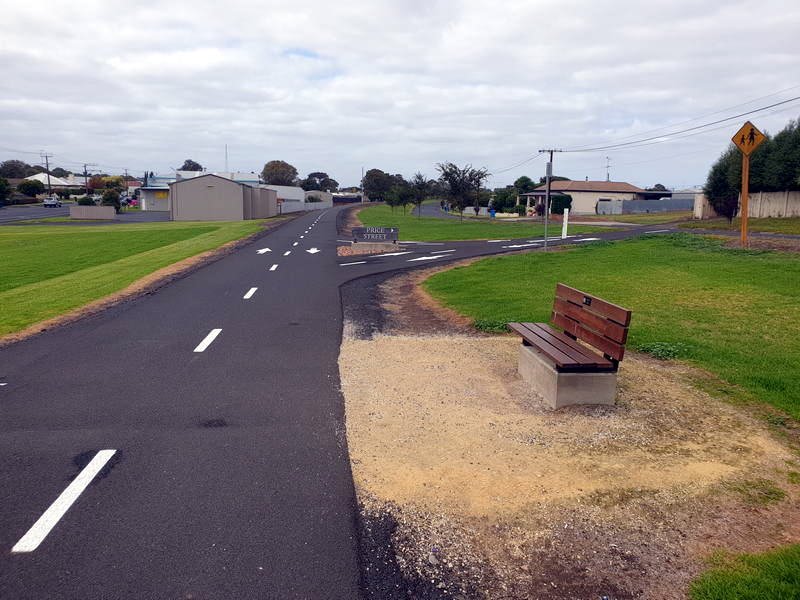
The Ant Trail is a collection of both tree sculptures & large log carvings situated over 5 council districts in lower South Australia. Carved by an Australian disabled artist & team they have bought dead trees back to life.

The tracks come to an abrupt end behind the showgrounds however the trail continues and turns left towards the Jubilee Highway past a timber mill on the right and and woodchip plant on the left.
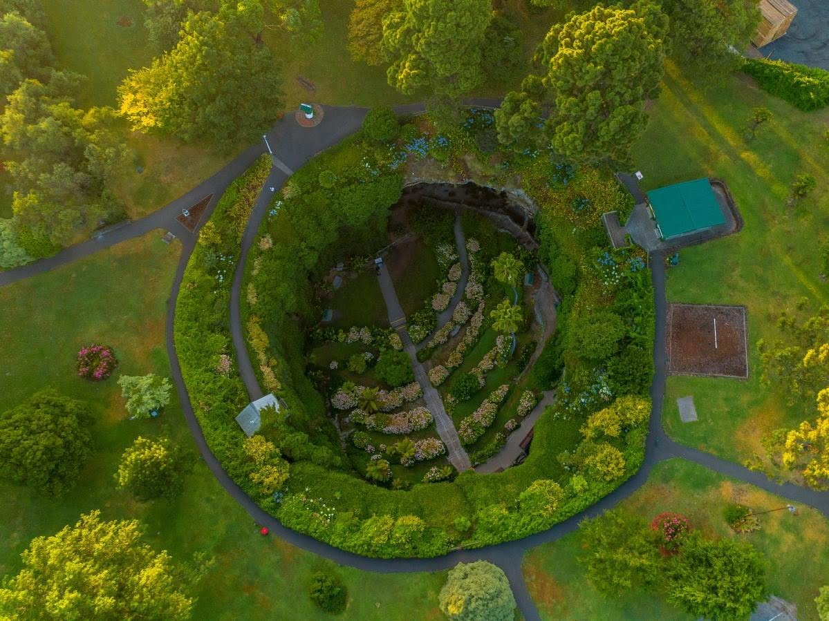
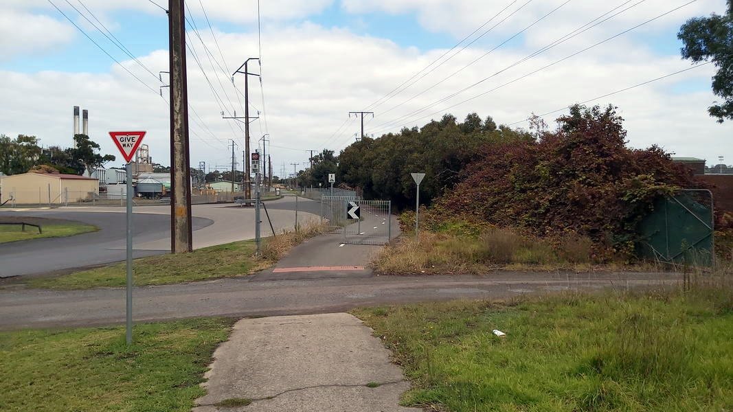
The Rail Trail ends simply at the Jubilee Highway about 300 metres West of the Umpherston Sinkhole. A rather dull looking and easy to miss end (or start) for such a pleasant trail.
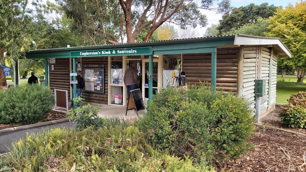
The Umpherston Sinkhole gardens are worth a visit and we have enjoyed these unusual gardens before and is a place we often bring visitors to see. It is open all year-round and the floodlights stay on until 1am, so you can enjoy the gardens in the evening and it’s free. There are sheltered areas and barbecue facilities, as well a kiosk in the park’s broader grounds. I walked to the gardens and joined Trish at the kiosk for a coffee before heading home.